Pensford Viaduct Circular Walk
A pretty walk taking in the magnificent Pensford Viaduct, the River Chew and the charming villages of Publow and Pensford.
Contents Table - Tap to jump to a section
ToggleWALK INFORMATION:
About Pensford Viaduct
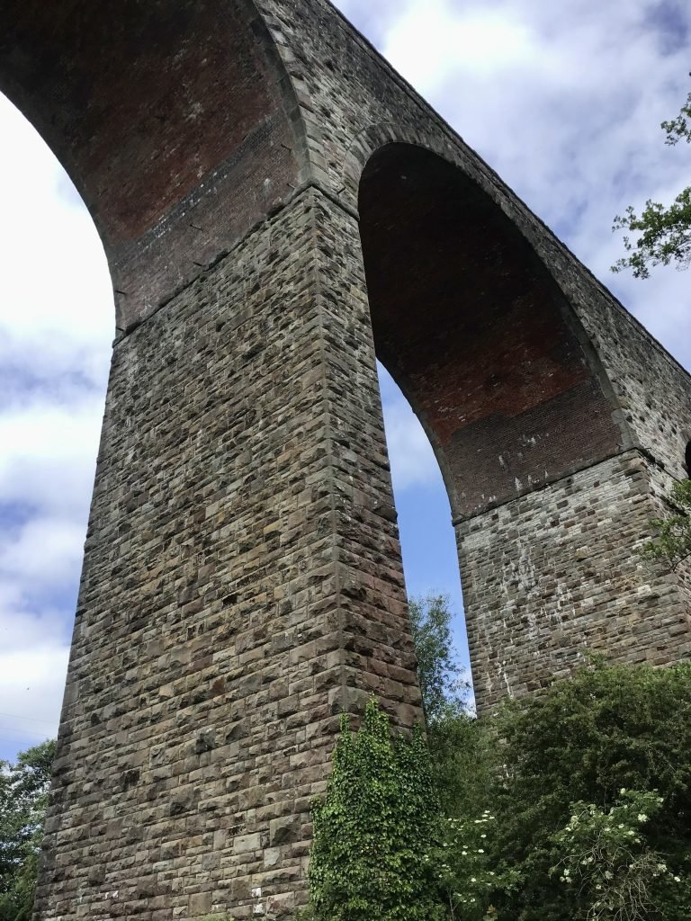
The Pensford Viaduct was opened in 1873 to link the Bristol and North Somerset railway between Bristol Docks and the Radstock and North Somerset coal fields. The magnificent sixteen arch viaduct carried the railway line over the valley of the River Chew. The last passenger train to cross the viaduct was in 1959. It was then only used to transport coal from Radstock and other goods until 1964. The now disused line was officially closed in July 1968, days after the village of Pensford was hit by a flood which weakened the viaduct.

Today, there is no access over the viaduct but you are able to walk underneath through the arches. Standing 29m to rail level and 303m in length, it’s an impressive structure. The viaduct was Grade II listed in 1984.
How to get to Pensford Viaduct
By Car
Pensford is on the A37 approx. 7 miles south of Bristol and 11 miles west of Bath
By Bus
From Bristol no. 376 via Whitchurch.
Level of Difficulty
I would rate this Pensford walk as easy. The paths and lanes are mostly flat, but can get muddy after rain.
Pensford Viaduct Walk Directions
The walk starts from the Memorial Hall on Publow Lane.
🥾 With the hall directly behind you, turn right and walk down Publow Lane until you see a public footpath sign and gate on your left-hand side. (It’s up a sloped path with a handrail). Walk up the path and through the kissing gate.


🥾 Walk ahead, keeping to the left of the field towards another gate. Go through the gate and continue ahead.
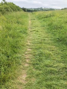

🥾 The footpath starts to go downhill towards another kissing gate. Go through this gate and follow the well-trodden path across the field towards All Saints Church.

River Chew Paddle Spot
On your right hand side at the bottom of the field is the river Chew. Here, you’ll see a pool and weir. The kids enjoyed paddling here in their wellies.


🥾 Continue past the river and go through a gate out onto the lane and turn right across Publow Bridge.

Publow Church
All Saints Church is in front of you. This Grade I listed building dates back to the 14th Century.

🥾 Go through a kissing gate on the right hand side of the church. Follow the path between the river and the church, continuing along the left hand side of the field.


There is a worn path through the field. Cows may be grazing here.

Publow Mill was once situated here. One of around 40 mills in this area. They originally produced iron, and later converted to copper.
🥾 Follow the path, which takes you past a farm on your left-hand side, and the path becomes a gravel track.


🥾 Cross a small bridge, which has a gate on either side. Please ensure you leave the gates as you found them.


🥾 Turn immediately left after the bridge. You’ll see a gate in front of you which leads to a pretty wooden footbridge.


🥾 Cross over the river Chew and through a second gate on the other side of the bridge.


🥾 Turn immediately right and walk along the river, keeping it on your right-hand side. You’ll soon reach another gate. (This one was open).
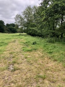

🥾 Once through the gate, turn immediately right down a footpath next to the river. Leave the gate as you find it.


🥾 Then, continue alongside the river until you reach a small wooden gate beneath a telegraph pole.


🥾 Exit the field into a small wooded area. Follow the footpath to some wooden steps which takes you up to a bridge. (A perfect spot for Pooh sticks!)


River Chew Wild Swim Spot
🥾 Through the gate on the other side of the bridge and turn immediately left to see a fabulous wild swimming spot. There is a natural pool in the river.
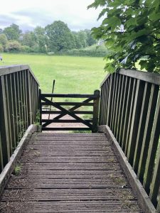

🥾 Continuing the walk: From the gate on the bridge, head straight across the field towards a small wooden pedestrian gate. You’ll notice some houses on your left-hand side in the distance.


Candlestick Brook Paddle Spot
🥾 When you reach the gate you’ll see it takes you onto a small wooden bridge across a stream. Cross the small bridge and turn left to see the ruins of the old tannery next to Candlestick Brook.


🥾 Now turn around and follow the stony path uphill until you reach Birchwood Farm.


Here, the path becomes Birchwood Lane.


Birchwood Lane was the main route between Wells Cathedral and Keynsham Abbey in medieval times. Later, it would have been the main access route to the tannery and Woollard Mill.
Lord’s Wood
🥾 Continue along the lane for about a mile, past Lord’s Wood on the left. There are two entrances to Lord’s Wood.
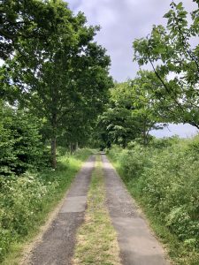

This is a privately owned wood has some public footpaths through it and a pool which once provided water to Woollard Mill.
There are gaps in the hedge on your right-hand side where you’ll have views over the fields, back towards Publow Church.

🥾 Continue on past a couple of farms, one which sells eggs and plants, to the end of the lane.


🥾 You’ll eventually reach the busy A37, carefully cross over. A public footpath is directly across the road, to the right of Pensford House.

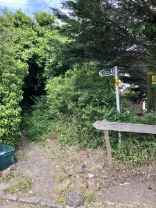
🥾 Walk down this footpath between two houses. This will take you downhill, through a kissing gate into a small woodland.
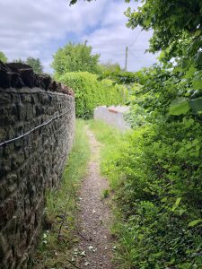

🥾 Cross over a brook at the bottom and follow the path uphill on the other side. You will soon reach a gate which takes you out of the wood and into a field.
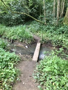

🥾 Continue walking up the hill, keeping to the right-hand side of the field. Go through another gate and continue on until you reach a third gate at the top.

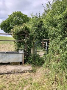
🥾 Exit the field through this gate onto Wick Lane. Turn right here and continue for about a mile along the lane until you reach Pensford.


Check out the views in the gaps of the hedges before the road starts heading downhill. There are some lovely views across the valley.
Winding House
You’ll pass the red-bricked Winding House on your right-hand side. This was once the engine winding house of Pensford Colliery that has been converted to a private residence. Pensford Colliery was open between 1909 and 1958. There are a few red-bricked buildings still remaining from the colliery.

The coal was transported on the Bristol and North Somerset Railway which shut in 1968, all that remains are a few bridges, including the viaduct.
🥾Continuing on, the lane bends as you walk over an old railway bridge before heading downhill towards Pensford.
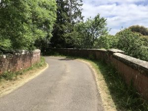
🥾 At the end of Wick Lane you’ll see an old red phone box (now being used as a library) and some cottages.


St Thomas A Beckett Church
🥾 Take the second left into Church Street, and stop on the bridge for a great view of the church with the magnificent viaduct in the background.

🥾 Now continue over the bridge and turn left into the churchyard. At the gate look up on your right to see a plaque showing the flood level in 1968 which washed away the main road bridge splitting the village in two.


🥾 After visiting the church of St Thomas A Beckett, turn right out the gate and back over the bridge. Take the next right into Stanton Lane.


🥾 You’ll see the church on your right-hand side with it’s 14th Century tower. The church became derelict after flood damage after the River Chew floods in 1968.

🥾 Walk along Stanton Lane and after about 50m turn right through a kissing gate marked with a public footpath sign. Here, you will have a great view of the viaduct.


🥾 Follow the footpath round to the right keeping the viaduct on your left.
Walk Extension
If you want to extend the walk, you can follow the footpath under the viaduct and continue along the riverbank to the Stanton Drew Stone Circle (an English Heritage site). This extension will add another 3-miles to the route.

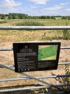
Keep an eye out in September for the Heritage Open Days which often include a FREE guided tour of the Stone Circles. 
🥾 Otherwise, cross the bridge over the river which will bring you into the car park of The Rising Sun pub. Turn left to get out the car park and follow the road round to the right to bring you out onto Church Street, next to The Rising Sun.

🥾 Turn left here and walk up to the main road (A37). Turn right and cross over the busy A37 at the crossing in front of the school. Once across the road turn right. Then take the next left into High Street. Walk up the hill to the triangle. This is all that remains of the village green.

Straight across you’ll see a circular stone building with a memorial bench next to it. This stone building is the old Lock Up. This is Grade II listed and once used to lock up prisoners. It was last used in 1885 for a 14 year old lad who was found stealing mangel-wurzels from a farmer’s field!

The commemorative bench is for Acker Bilk, the musician who was born and lived in the village.

🥾 Turn left onto Publow Lane and back to the start of the walk at the Village Hall.
What to wear and bring with you
I recommend wearing a good pair of walking boots/shoes for comfort and support. Otherwise, a pair of trainers on a sunny, dry day. The route is in a valley and can be muddy along the river bank in wet weather or after rain.
Bring plenty of water with you to keep hydrated. There are some places to buy refreshments in Pensford (see below).
Facilities around Pensford and Publow
There are three pubs in the village of Pensford: The Rising Sun, The George and Dragon and The Travellers Rest. If you’re planning this walk around a pub meal, it might be worth booking ahead.
Best time to hike Pensford Viaduct Loop
You can hike the Pensford Viaduct circular route at any time of the year. As a family, we walked this route in February, on a dry, sunny weekend which was perfect because there wasn’t many people around. I also walked the route, solo, on a sunny June day during the week.

Things to Note
There may be farm animals grazing in some of the fields, so please keep dogs on a lead on this part of the route. Parking is limited along Publow Lane. There is a layby near the Memorial Hall, or some roadside parking near the start of the walk. Please park considerately.
Other things to do around Pensford
- Visit Chew Valley Lake
- Meet and walk the Alpacas at Bell Farm in Woollard
- Visit Chew Valley Animal Park
- Explore Avon Valley Adventure and Wildlife Park
- Hengrove Park
- Farringdon’s Farm Park and Playbarn
- Visit Cheddar Caves and Gorge. See our Cheddar Gorge circular walk
- Visit the nearby cities of Bristol, Bath or Wells.
Read More Somerset Guides
Before you go, check out these posts next:
The Best Days Out and Unmissable Things To Do in Somerset
Follow us on social media
Pin it for later!
Found this useful? Share on Pinterest
Somerset Family Adventures is a free online resource. If you enjoyed this post and found it helpful, you can say thanks and show your support by buying me a coffee. Thanks so much! You can also sign up to our newsletter to be the first to hear of our new walks and days out.
Share this post with your friends and family, and follow us on our social media. Feel free to tag us in your photos if one of my posts has inspired you to visit.
Share this post: on Twitter on Facebook


